

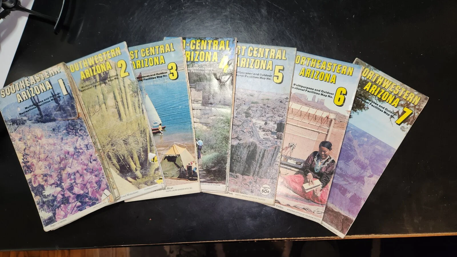
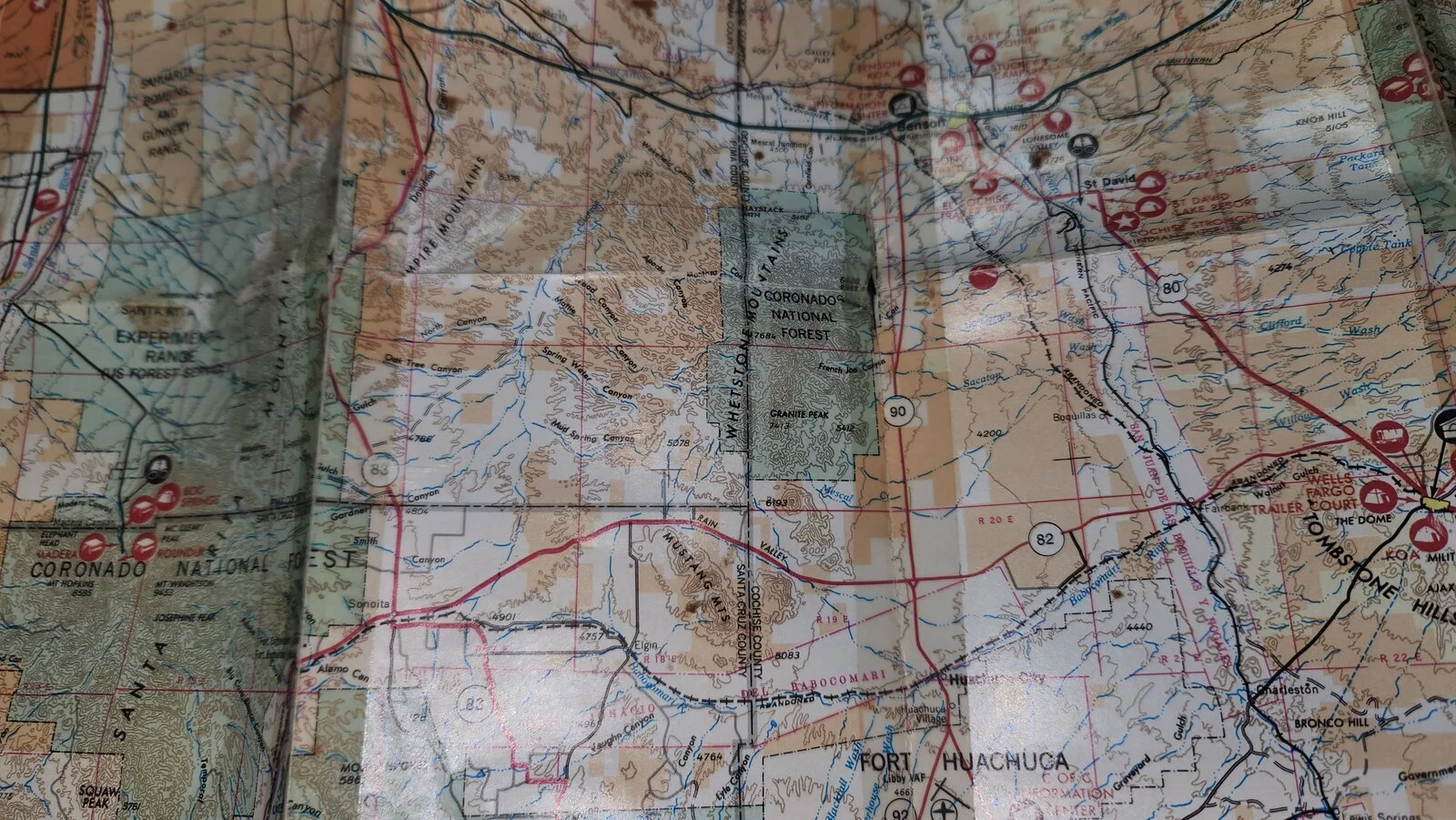
Yes I have all kinds of electronic navigation but I still like my paper maps and Atlases. What do you fellow paper map people like to use, USFS, USGS? I have a set of 7 maps that covers my whole state and I used them heavily many years ago...wore out a couple sets. They are very detailed showing everything the USGS maps show like cattle tanks, graves, buildings etc. along with the different types of roads ie. all weather road, Jeep trail etc. They are long out of print so I am going to get some map repair tape and fix them up after they sat in the attic for 20 years.
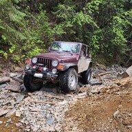
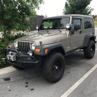
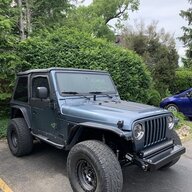
I am most interested in Arizona and New Mexico. I did get some nice USGS prints for my next trip to NM as I plan to follow the trail that my ancestors took when they gradually moved downriver from Las Vegas, NM Eastward, the roads are all dirt with village ruins here and there and old cemeteries with some of my ancestors buried. I tried it last year in my Superduty but the road was washed out and there were some cave ins too close to the edge for comfort in a 8,800 lb. 21 foot long truck so I turned back, hoping to take the TJ this year.
USGS seems to be the largest scale and I believe now you can just locate them online and print up small ones or order larger ones. What do you use?
I am most interested in Arizona and New Mexico. I did get some nice USGS prints for my next trip to NM as I plan to follow the trail that my ancestors took when they gradually moved downriver from Las Vegas, NM Eastward, the roads are all dirt with village ruins here and there and old cemeteries with some of my ancestors buried. I tried it last year in my Superduty but the road was washed out and there were some cave ins too close to the edge for comfort in a 8,800 lb. 21 foot long truck so I turned back, hoping to take the TJ this year.
USGS seems to be the largest scale and I believe now you can just locate them online and print up small ones or order larger ones. What do you use?







 I still have a couple of them, plus the foldable city map for alot of cities in the southeast!!!!


