Chinook Pass

TCJ

New Member
Original poster
Joined
May 24, 2024
Messages
19
Location
Ellensburg
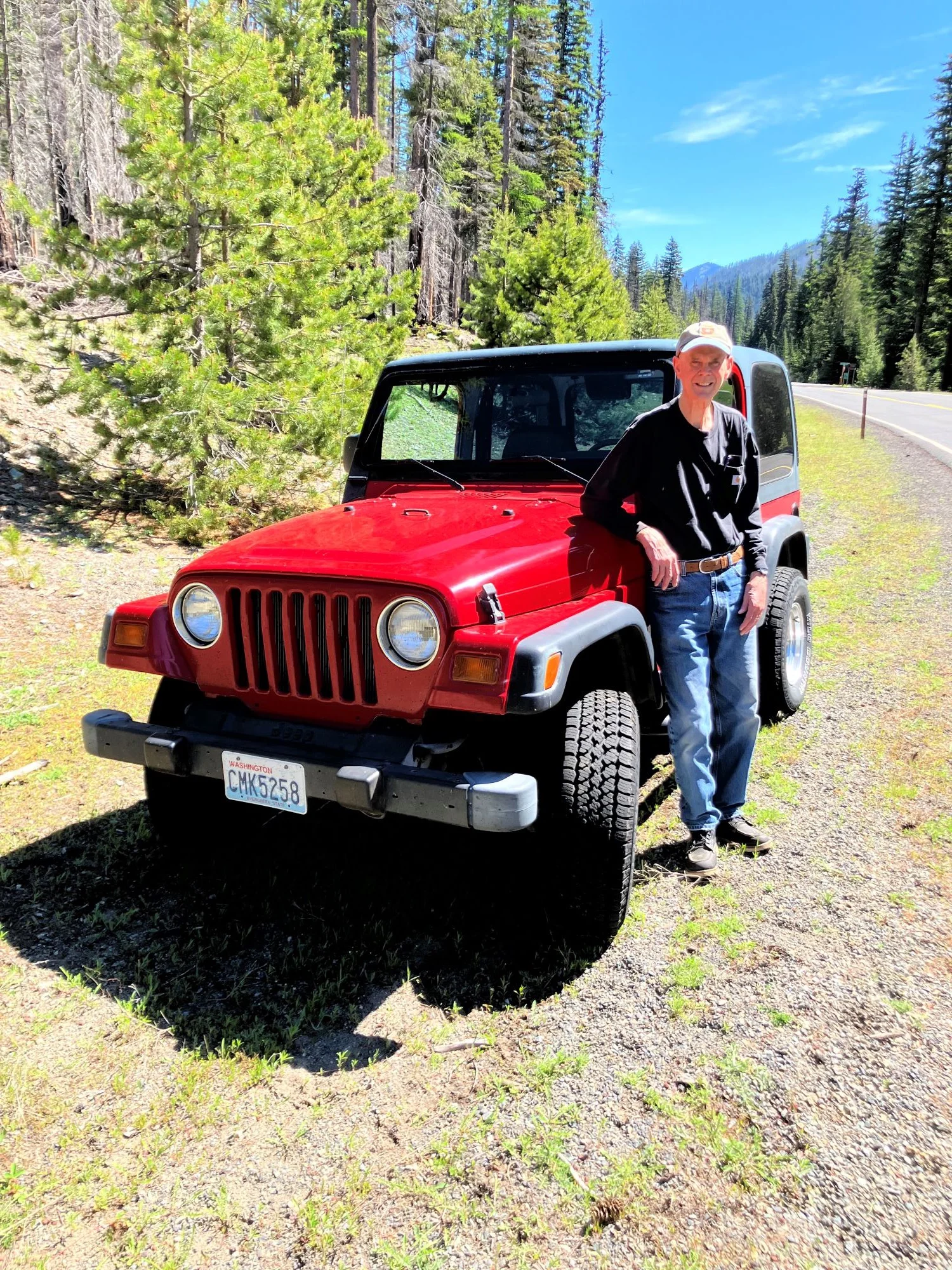
I was born on June 6th on the 5th anniversary of D Day. You can do the math. Each year on my birthday Barbara and I take a drive up to the summit of Chinook Pass, WA to check out the snow and a good long trip with my new Jeep TJ to check the gas mileage. Also I decided to name my Jeep, TJ. it is a 1999 Wrangler TJ and those letters are my initials too.

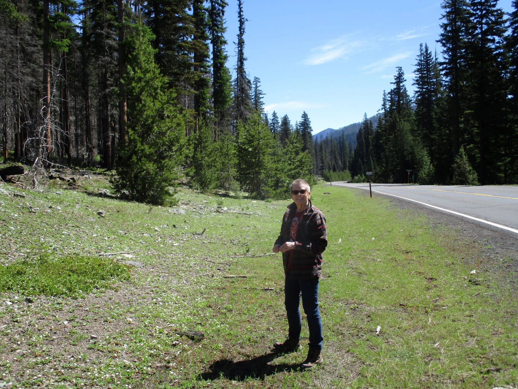
Just above Pleasant Valley
VL4pR9p.webp


Barbara Looking for wildflowers
VZc7iZZ.webp


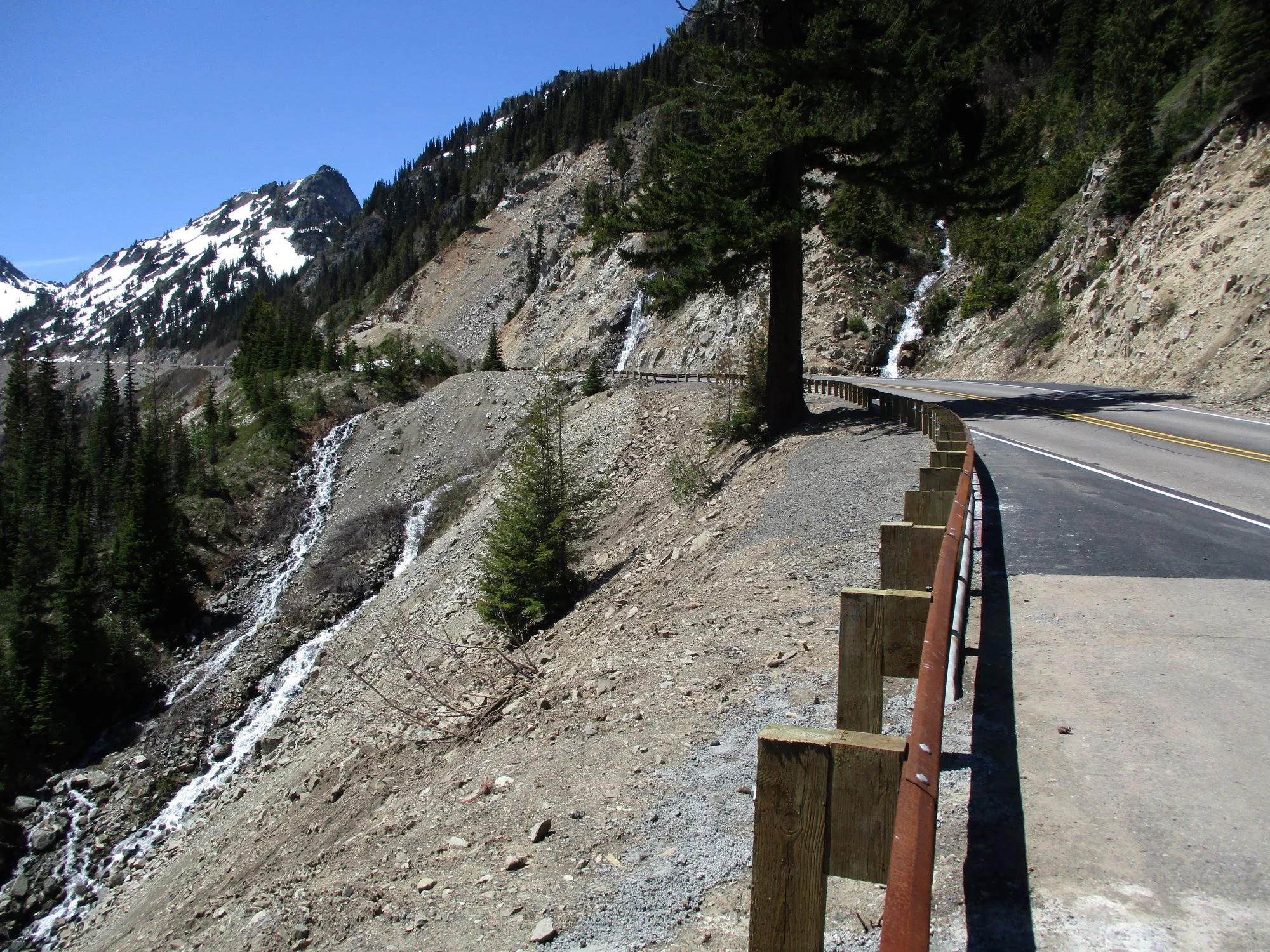
These two waterfalls washed out this section of the highway on the Normile grade a couple weeks ago. They fixed it in a hurry.
5V2GpwL.webp


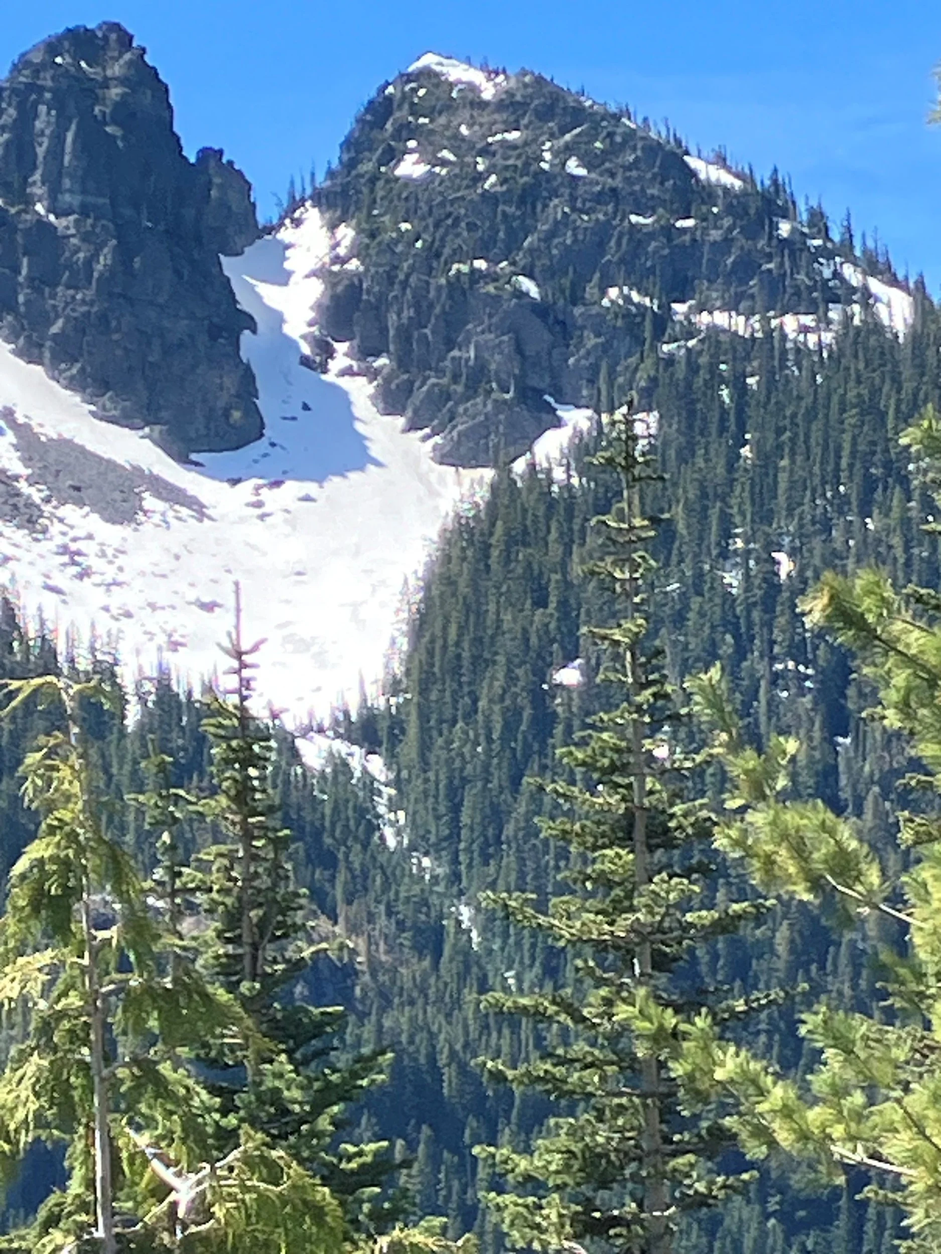
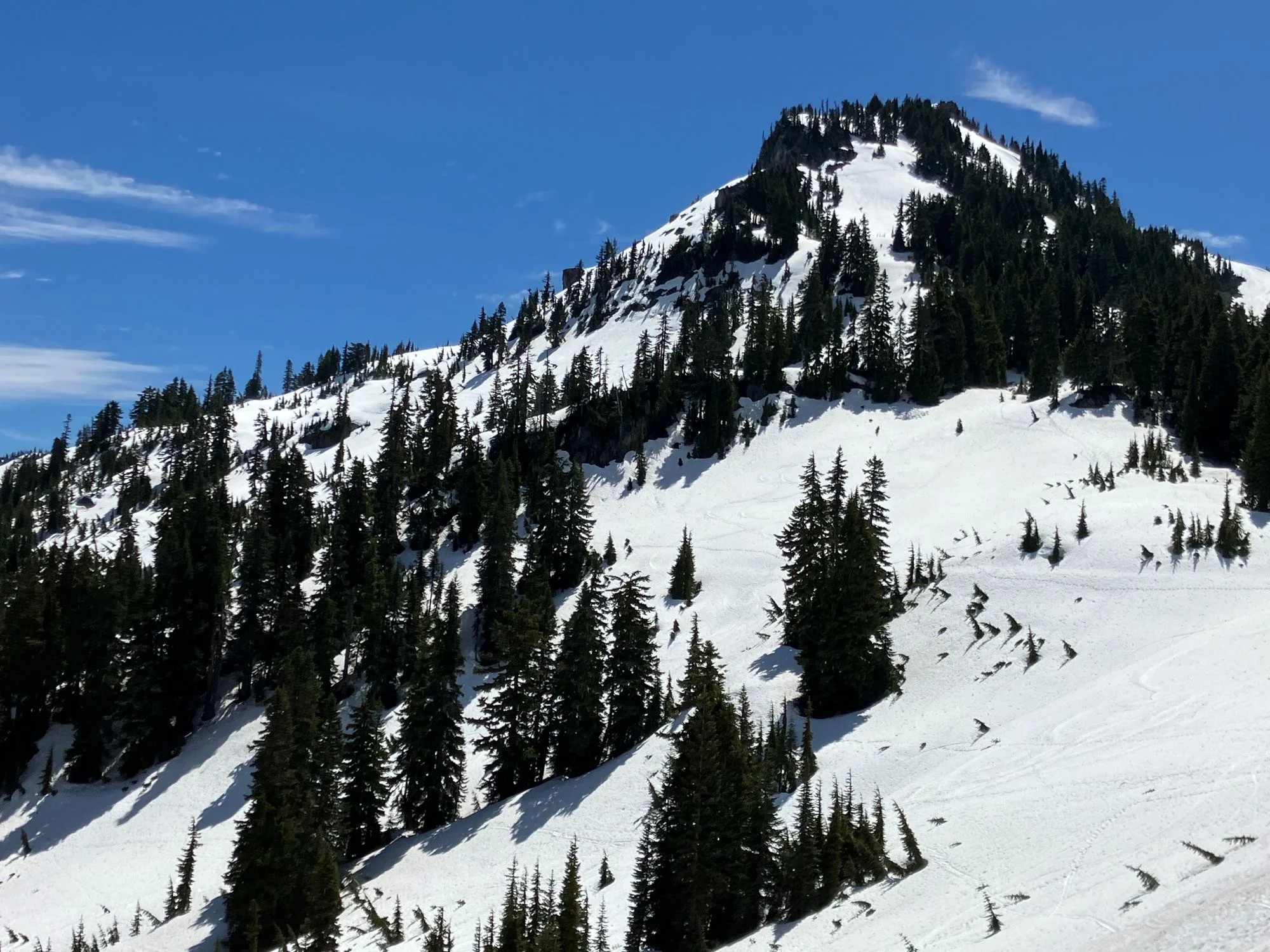
Unnamed peak on the west end of American Ridge near the summit of Chinook.
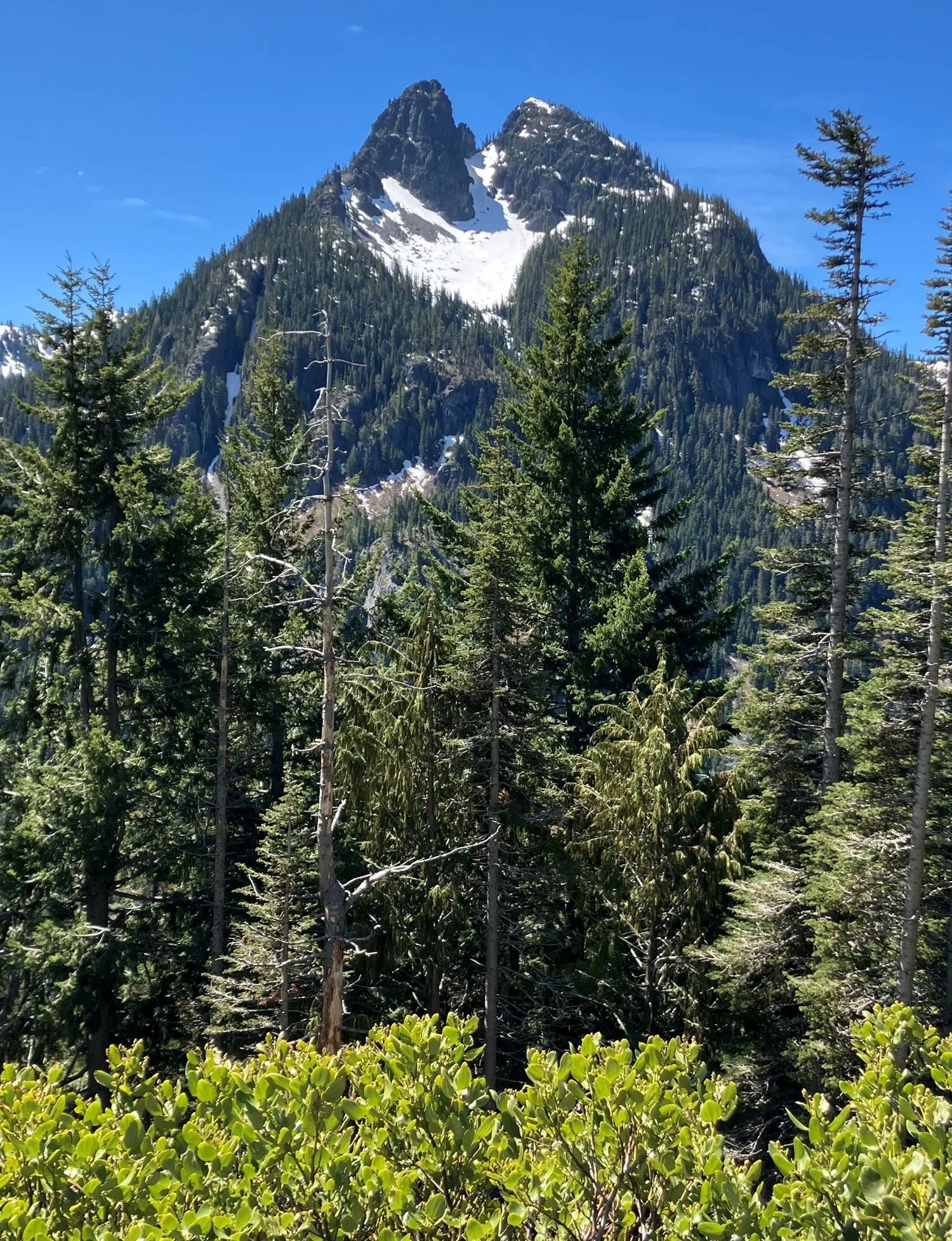
4lbacSK.webp


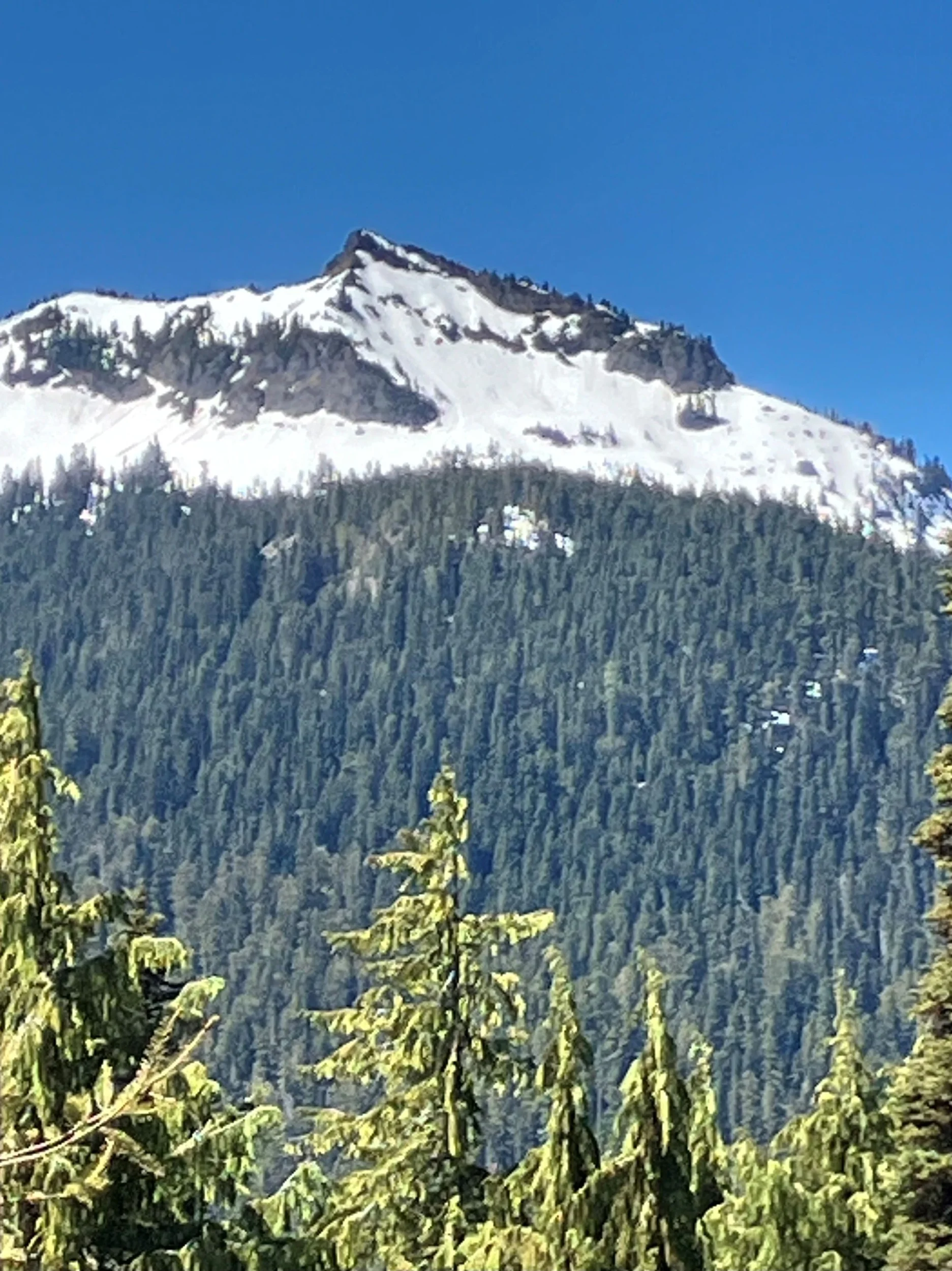
Close up of the same peak.
L9NqecM.webp


Naches Peak
Nliulqc.webp


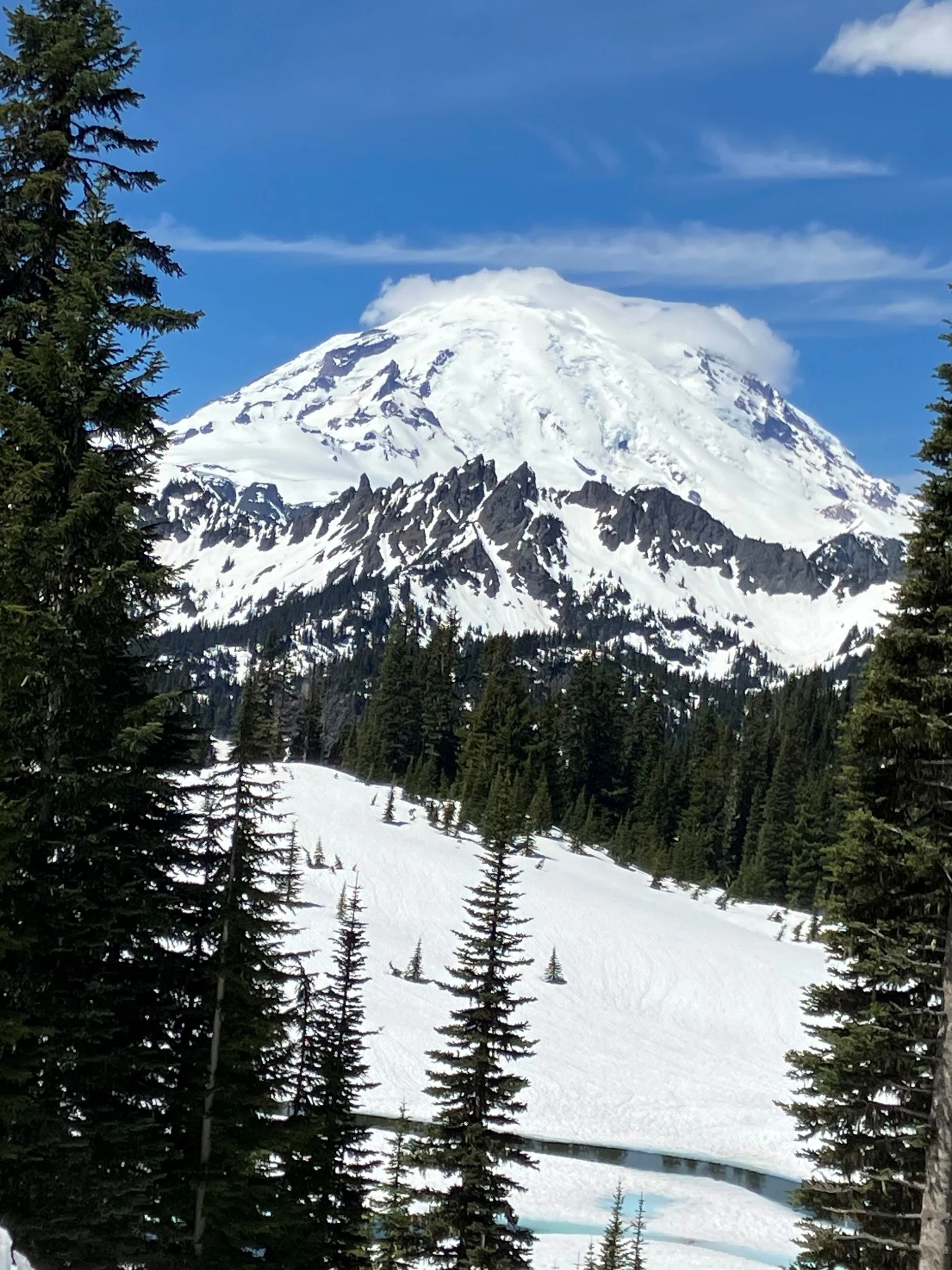
Mount Rainier had a Curly Cloud Cap
VvXcRKI.webp


Yakima Peak
AbX42Q4.webp


Naches Peak on the left, Yakima Peak on the right, in the bottom is the head waters of the Rainier Fork of the American River
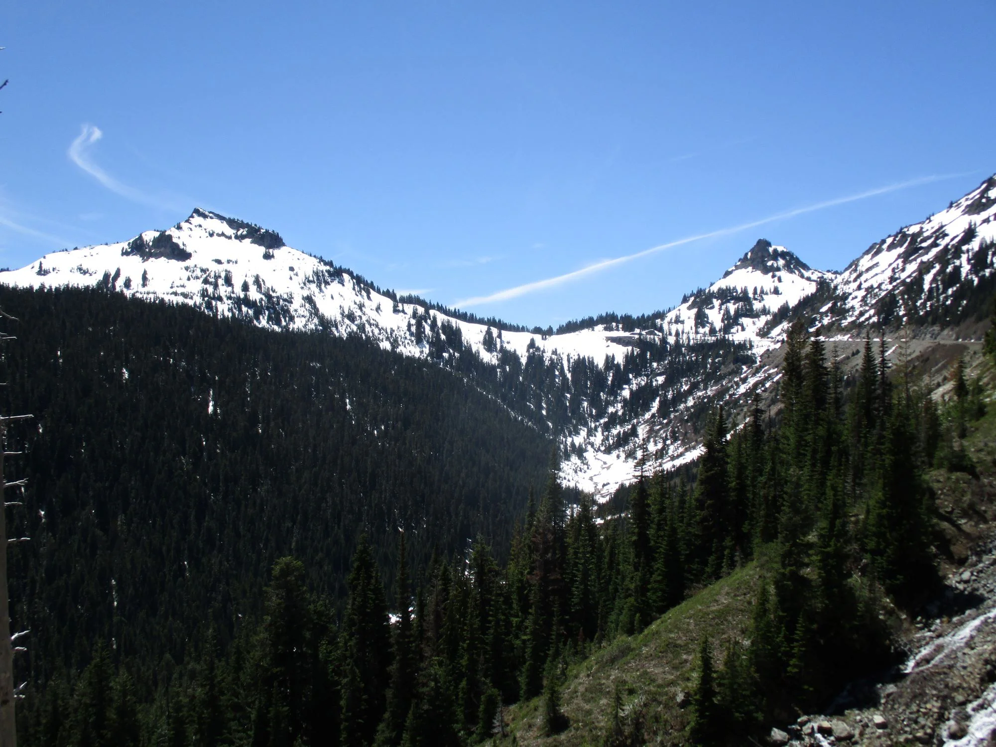
2OOgpuX.webp


Barbara, Me , and TJ at Chinook pass Summit.
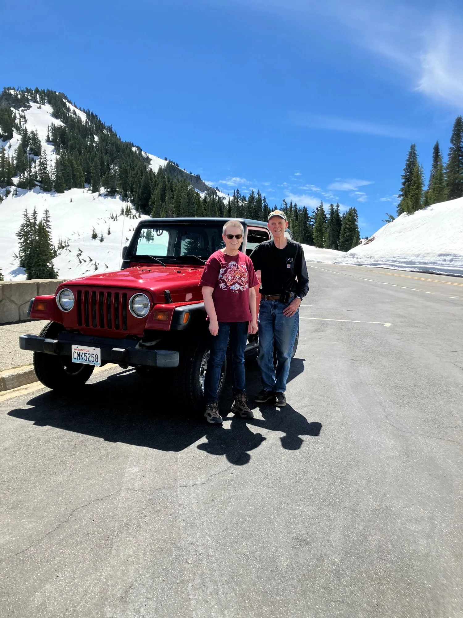
SB2Bnfp.webp


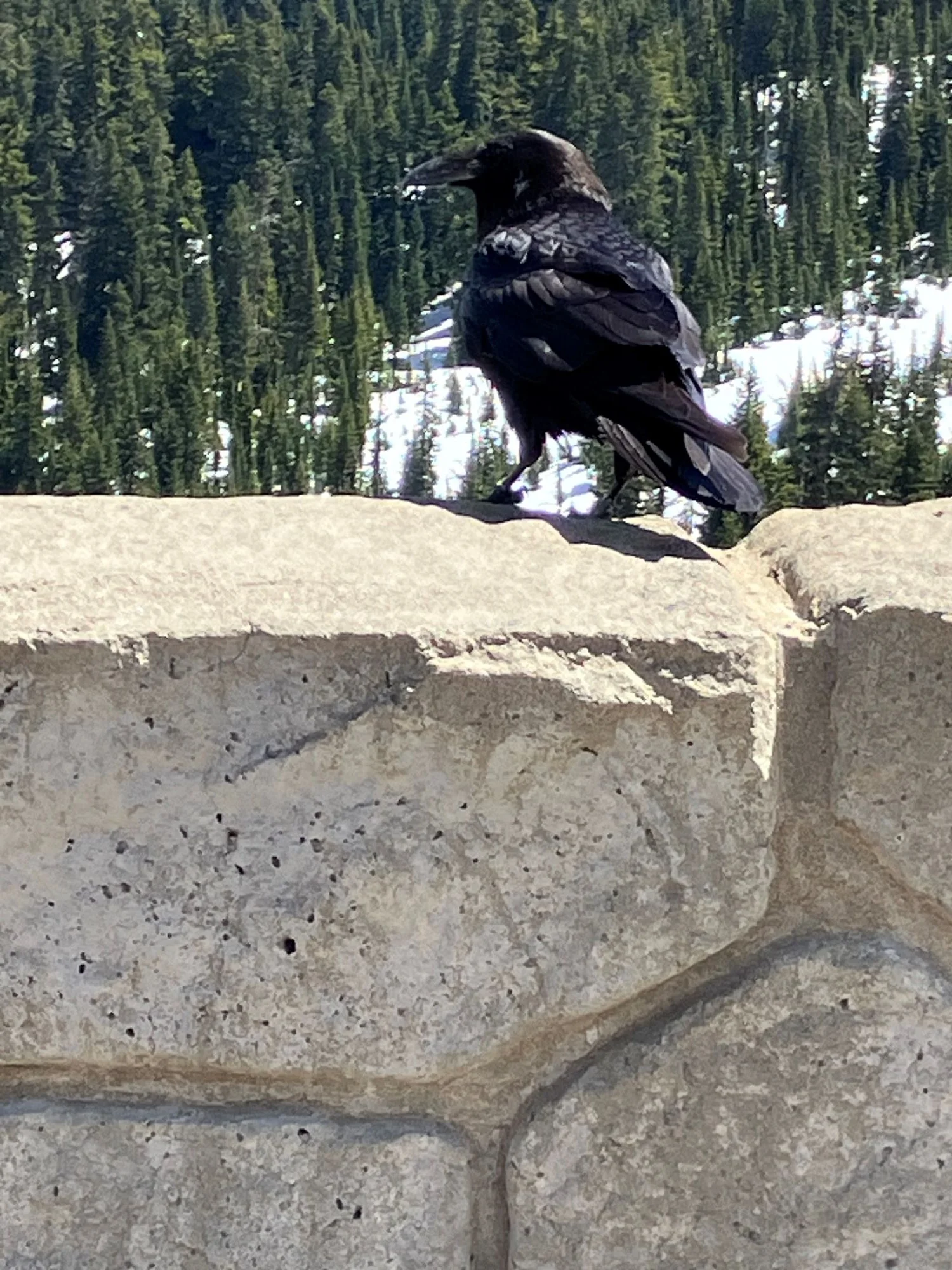
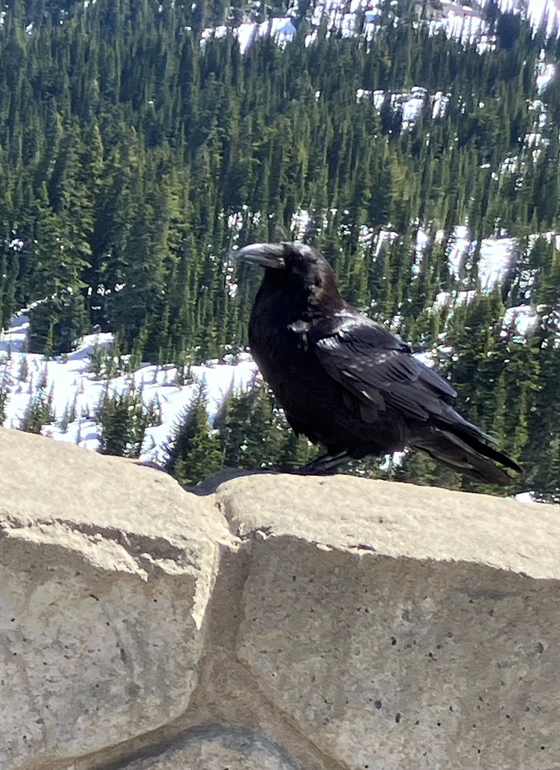
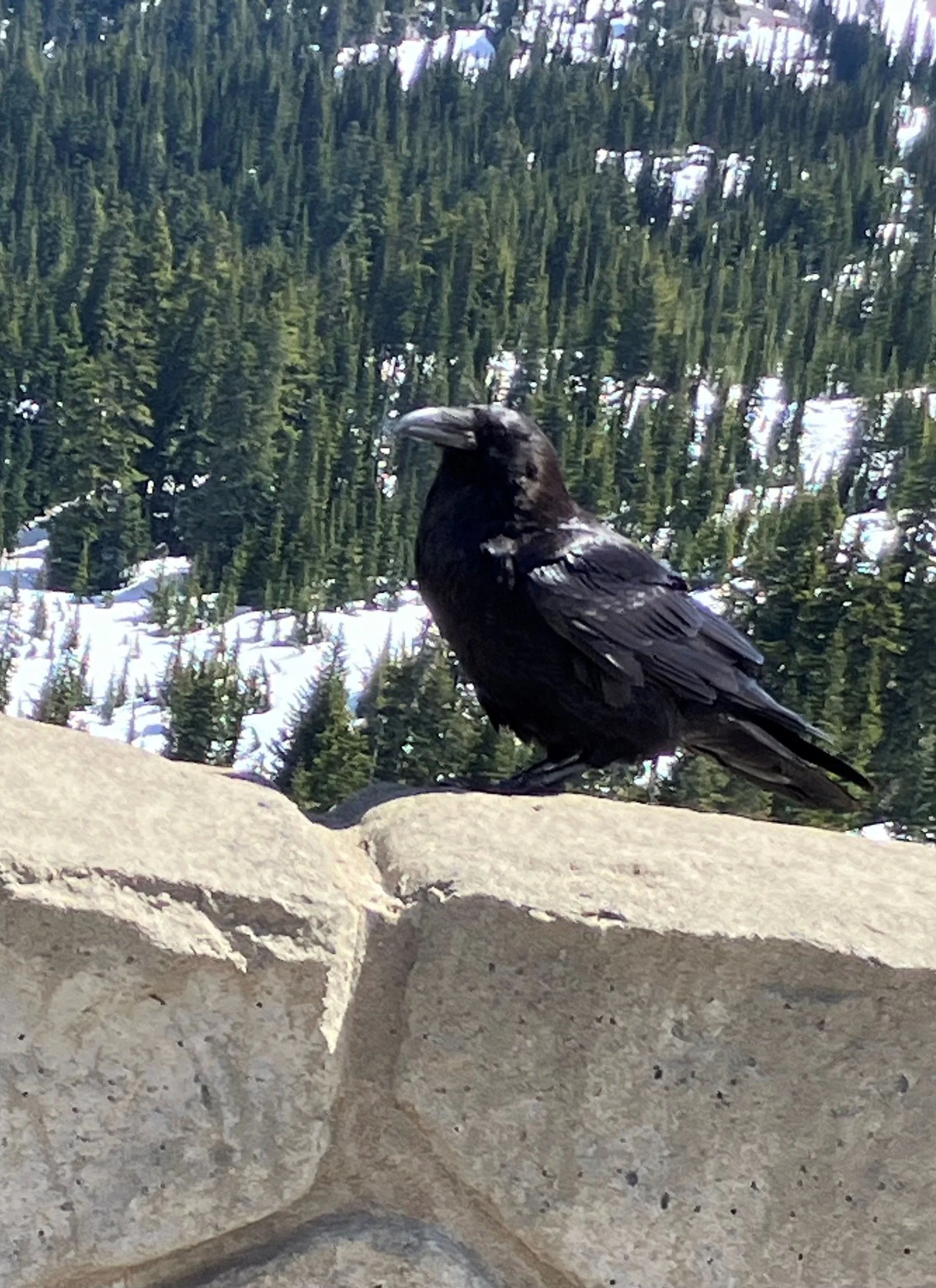
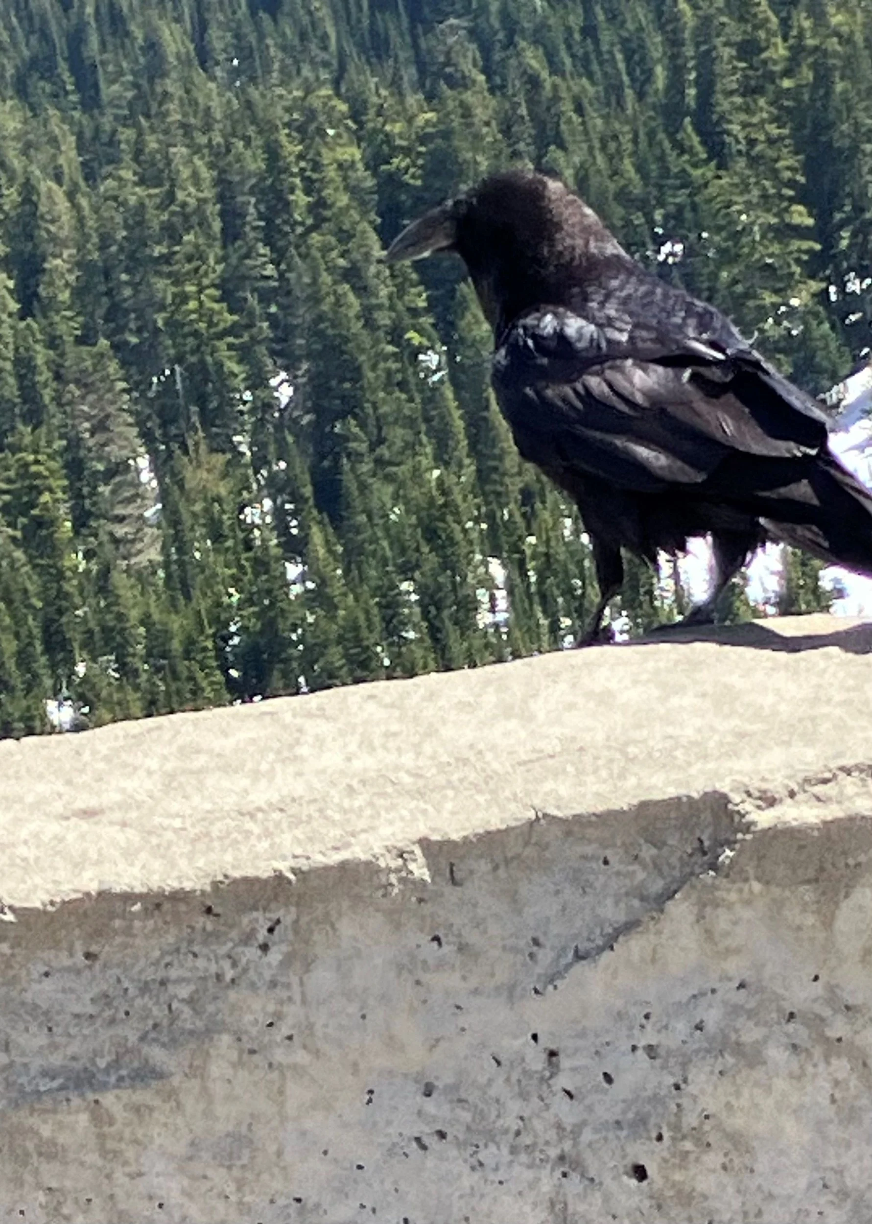
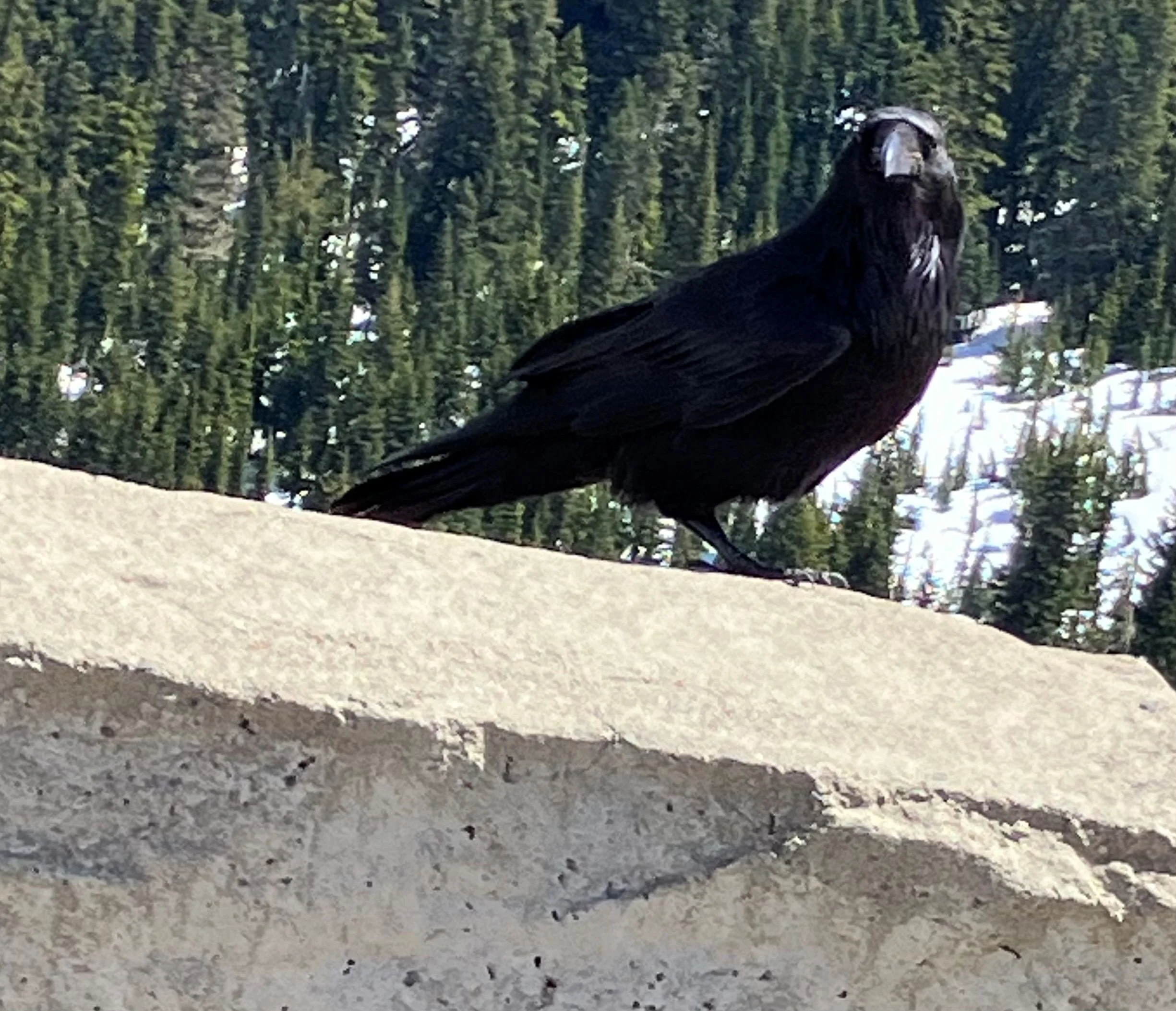
While we were eating lunch a big Raven stopped by
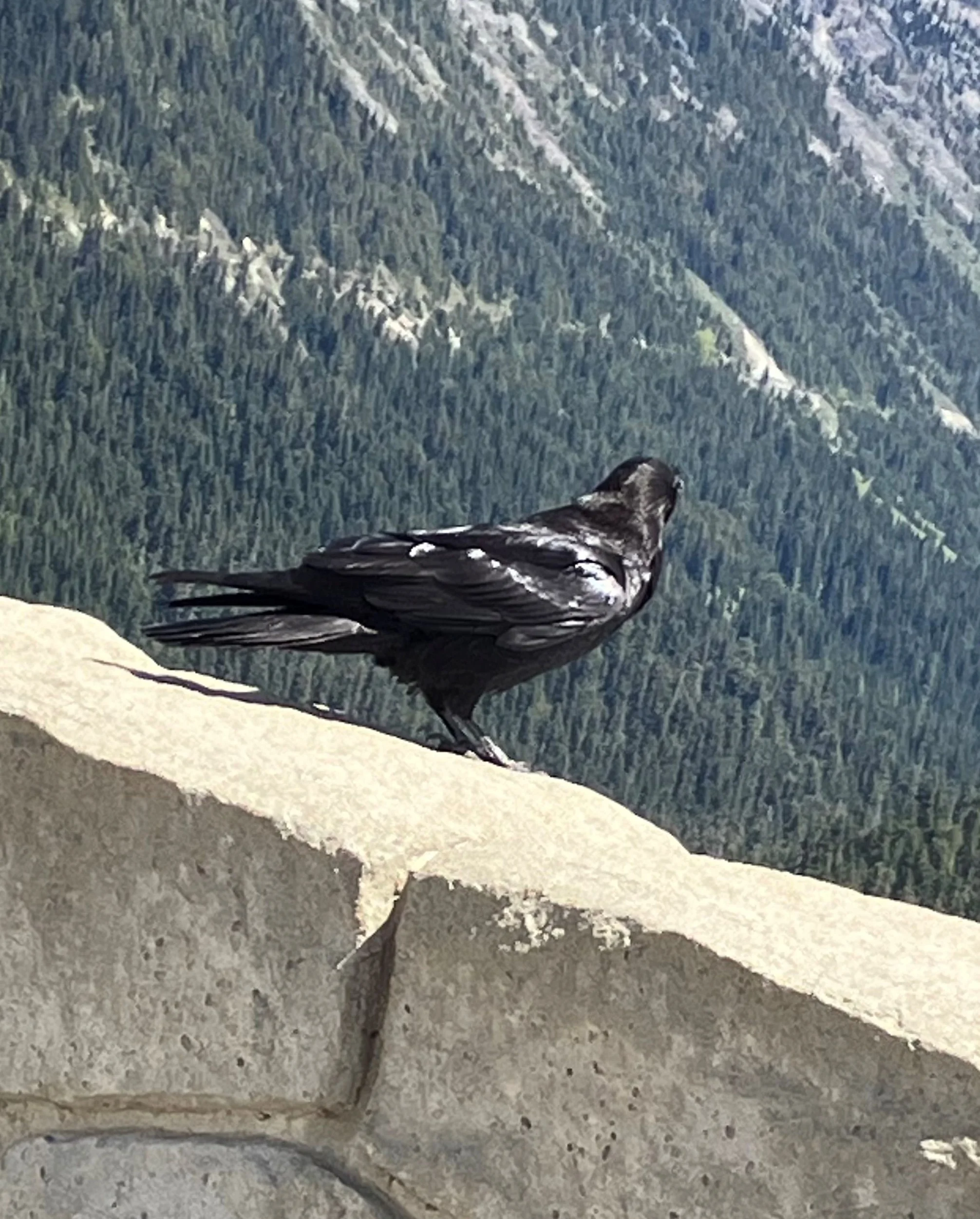
NiHU3tW.webp


Looking for a hand out.
bT3OLSY.webp


He...or She...was very polite.
Bmixz4U.webp


About three feet from tip of beak to end of tail feathers
Ec9MvfT.webp


Still waiting
Bmixz4U.webp


Beautiful Bird
q8dbswk.webp


On the way back down the pass we stopped at what is now called the Indian Flats Pond across the highway from the Indian Flats Forest Service Summer Home group. Until about 1970 it was the Indian Flats garbage Dump. About 1972 the dump was closed and it was turned into a gravel pit to supply rock to crush into gravel to chip seal the Bumping Lake road. Then the spring on the hill filled the gravel pit with water and it became a pond.

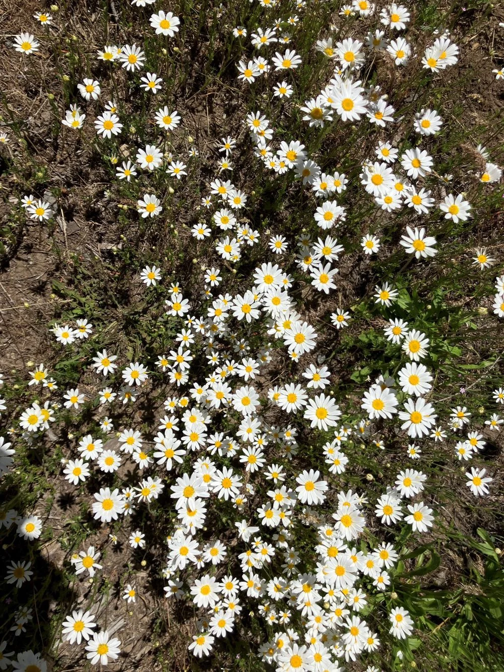
A patch of Daisies at the Indian Flats Pond
aYcNI3c.webp
 
I was born on June 6th on the 5th anniversary of D Day. You can do the math. Each year on my birthday Barbara and I take a drive up to the summit of Chinook Pass, WA to check out the snow and a good long trip with my new Jeep TJ to check the gas mileage. Also I decided to name my Jeep, TJ. it is a 1999 Wrangler TJ and those letters are my initials too.

Just above Pleasant Valley
View attachment 533613

Barbara Looking for wildflowers
View attachment 533614

These two waterfalls washed out this section of the highway on the Normile grade a couple weeks ago. They fixed it in a hurry.
View attachment 533615

Unnamed peak on the west end of American Ridge near the summit of Chinook.
View attachment 533616

Close up of the same peak.
View attachment 533617

Naches Peak
View attachment 533618

Mount Rainier had a Curly Cloud Cap
View attachment 533619

Yakima Peak
View attachment 533620

Naches Peak on the left, Yakima Peak on the right, in the bottom is the head waters of the Rainier Fork of the American River
View attachment 533621

Barbara, Me , and TJ at Chinook pass Summit.
View attachment 533622

While we were eating lunch a big Raven stopped by
View attachment 533623

Looking for a hand out.
View attachment 533624

He...or She...was very polite.
View attachment 533625

About three feet from tip of beak to end of tail feathers
View attachment 533626

Still waiting
View attachment 533627

Beautiful Bird
View attachment 533628

On the way back down the pass we stopped at what is now called the Indian Flats Pond across the highway from the Indian Flats Forest Service Summer Home group. Until about 1970 it was the Indian Flats garbage Dump. About 1972 the dump was closed and it was turned into a gravel pit to supply rock to crush into gravel to chip seal the Bumping Lake road. Then the spring on the hill filled the gravel pit with water and it became a pond.

A patch of Daisies at the Indian Flats Pond
View attachment 533629

Wonderful pictures of some of the more beautiful areas of the state! ;)
 
  • Like
Reactions: Wildman
You need to take a trip to bumping lake. Past the campground FSR 1800 continues on the south side of the lake. You can turn off (left) onto 1808000 (deep creek) and about 6 miles in will come up to a historical mine site. That road, 4W654, goes to the old copper city mine with some fantastic history, and an amazing story of one of the cooks who was severely injured and had to be carried out some 60 miles to the closest town - on skis (winter). Do not attempt unless you are with someone and have recovery gear as a few of the bridges are not fairing well. But backing up to FSR 1800, you can continue toward the end of the lake and take another left on 1809000 (Miners Ridge). This road goes up to Granite lake which is fantastic!!! And beyond up to Miners Ridge for some fantastic views! From up here you can spot an old dozer trail that went via the back side back to that same copper city mine site. It's one of my favorite areas in the entire nation. Check it out next time your up there if your with a group!!
 
  • Like
Reactions: Wildman
You need to take a trip to bumping lake. Past the campground FSR 1800 continues on the south side of the lake. You can turn off (left) onto 1808000 (deep creek) and about 6 miles in will come up to a historical mine site. That road, 4W654, goes to the old copper city mine with some fantastic history, and an amazing story of one of the cooks who was severely injured and had to be carried out some 60 miles to the closest town - on skis (winter). Do not attempt unless you are with someone and have recovery gear as a few of the bridges are not fairing well. But backing up to FSR 1800, you can continue toward the end of the lake and take another left on 1809000 (Miners Ridge). This road goes up to Granite lake which is fantastic!!! And beyond up to Miners Ridge for some fantastic views! From up here you can spot an old dozer trail that went via the back side back to that same copper city mine site. It's one of my favorite areas in the entire nation. Check it out next time your up there if your with a group!!

Thank you so much for this post Chad! That's what I like a lot about this forum. People offering excellent advise.

I grew up in Yakima and as a kid spent the summers staying at my Great Grandparent's cabin at Indian Flat on Chinook Pass. My Grandpa took us hiking to all the high lakes to fish. I spent the first 6 years, 1968, to 1974 of a 31 year career as a US Forest Service fire fighter on the Naches Ranger District. My first ride in an aircraft was in a 47 bell B1 in 1968 to a fire on the top of Miners Ridge right above the Clara Mine.

Here's a plug for a book about the history of Bumping lake and the surrounding area. https://www.amazon.com/s?k=tanum+by+susan+summit+cyr&crid=11G5Q0WHQ7QUW&sprefix=tanum+by+susan+summit+cyr,aps,215&ref=nb_sb_noss&tag=wranglerorg-20 I bought it 3 years ago and have read it 3 Times. I learn something new every time I read it. My wife and I have become good friends with Suzy, the author and her husband Tom. They own Jack and Kitty Nelson's old Resort lodge he and kitty named Normandy, nobody knows why they named it that. Jack was the first gate keeper at Bumping lake after the dam was built in 1910. He retired in 1946 and then he and kitty ran the resort. We were up there last week. Suzy wanted to show us some new points of history she has found in an area of undisturbed old growth Timber south of the dam. Jack Nelson named it "The Sanctuary"

Here's a report on our trip to miners ridge in my Toyota Tacoma 4 X 4 in oct 2021.

Me at Miners ridge lookout, 1968
5QCPha1.jpg


Miners ridge on the left the Hause (Pronounced House) Rocks on the Right) from Bumping lake.
ah4UQBQ.jpg


Granite lake camp spot.
THAei4L.jpg


Another view of Granite lake
ENGVMFh.jpg


Brook Trout
VYKLvVE.jpg


My wife Barbara at Miner's Ridge. She was the fire lookout on Little Bald Mountain from 1970 to 1973
zCGw1iz.jpg


Crag Mountain on the left, the Hause Rocks on the right. The Red Rock Creek drainage between them.
6KB3yB1.jpg


The Red Rock Fire,1940, scar in the foreground. The first time I was up there the large trees killed in the fire were still standing snags. My Great uncle was conscripted by Forest Service in Naches to fight the fire.
HSirDhB.jpg


Close up of Crag Mountain.
PnzJt6d.jpg


Close up of the Hause Rocks
0ZVE596.jpg


Looking southwest up Carlton Pass. Fish lake is at the summit of the pass in the tiny meadow at the left foot of Crag Mountain and is the headwaters of the Upper Bumping River. Carlton creek flows to the west down the west side of the cascade mountains. This pass was a contender with White Pass to for the location to build the first railroad across the cascades. It has the least gradient and is lower than all the Others. It became a mute point when Snoqualmie pass was built. Thank god, Bumping lake and the upper Bumping would certainly be a different place if the railroad tracks had been run up there.
kuPlO5p.jpg


Trying out my new one man bucking saw on the way down. it works well.
W55VCZ6.jpg
 
Last edited:
Ravens can have many symbolic meanings across cultures and mythologies:
  • Loss and ill omen: Ravens' black feathers, croaking calls, and diet of carrion can associate them with loss and bad omens.
  • Prophecy and insight: Ravens can also represent prophecy and insight as talking birds.
  • Transformation and magic: Ravens can symbolize transformation and magic, and are associated with both the underworld and the spirit world.
  • Adaptability: Ravens' ability to thrive in different environments can make them a symbol of resilience and resourcefulness.
  • Ancient wisdom: Ravens can represent ancient wisdom, intelligence, and shapeshifting gods and goddesses.
  • The link between the mortal and divine: Ravens can embody the link between the mortal and divine.
  • The complexity of nature: Ravens can symbolize the complexity of nature and the subtlety of truth.
  • The unknown: Ravens can symbolize the unknown and showing that everyone sees the world differently.
  • The transition from ignorance to knowledge: Ravens can symbolize the transition from ignorance to knowledge, from life to death, from evil to good, and from night to day.
  • Grace of God: In the Bible, ravens can symbolize God's care for us in grace.
  • Accepting light and darkness: Ravens can be a sign that you're ready to accept both the light and the darkness, and face your shadows.

 
  • Like
Reactions: Fulton_Hogan
Thank you so much for this post Chad! That's what I like a lot about this forum. People offering excellent advise.

I grew up in Yakima and as a kid spent the summers staying at my Great Grandparent's cabin at Indian Flat on Chinook Pass. My Grandpa took us hiking to all the high lakes to fish. I spent the first 6 years, 1968, to 1974 of a 31 year career as a US Forest Service fire fighter on the Naches Ranger District. My first ride in an aircraft was in a 47 bell B1 in 1968 to a fire on the top of Miners Ridge right above the Clara Mine.

Here's a plug for a book about the history of Bumping lake and the surrounding area. https://www.amazon.com/s?k=tanum+by+susan+summit+cyr&crid=11G5Q0WHQ7QUW&sprefix=tanum+by+susan+summit+cyr,aps,215&ref=nb_sb_noss&tag=wranglerorg-20 I bought it 3 years ago and have read it 3 Times. I learn something new every time I read it. My wife and I have become good friends with Suzy, the author and her husband Tom. They own Jack and Kitty Nelson's old Resort lodge he and kitty named Normandy, nobody knows why they named it that. Jack was the first gate keeper at Bumping lake after the dam was built in 1910. He retired in 1946 and then he and kitty ran the resort. We were up there last week. Suzy wanted to show us some new points of history she has found in an area of undisturbed old growth Timber south of the dam. Jack Nelson named it "The Sanctuary"

Here's a report on our trip to miners ridge in my Toyota Tacoma 4 X 4 in oct 2021.

Me at Miners ridge lookout, 1968
View attachment 543706

Miners ridge on the left the Hause (Pronounced House) Rocks on the Right) from Bumping lake.
View attachment 543707

Granite lake camp spot.
View attachment 543708

Another view of Granite lake
View attachment 543709

Brook Trout
View attachment 543710

My wife Barbara at Miner's Ridge. She was the fire lookout on Little Bald Mountain from 1970 to 1973
View attachment 543711

Crag Mountain on the left, the Hause Rocks on the right. The Red Rock Creek drainage between them.
View attachment 543712

The Red Rock Fire,1940, scar in the foreground. The first time I was up there the large trees killed in the fire were still standing snags. My Great uncle was conscripted by Forest Service in Naches to fight the fire.
View attachment 543713

Close up of Crag Mountain.
View attachment 543714

Close up of the Hause Rocks
View attachment 543715

Looking southwest up Carlton Pass. Fish lake is at the summit of the pass in the tiny meadow at the left foot of Crag Mountain and is the headwaters of the Upper Bumping River. Carlton creek flows to the west down the west side of the cascade mountains. This pass was a contender with White Pass to for the location to build the first railroad across the cascades. It has the least gradient and is lower than all the Others. It became a mute point when Snoqualmie pass was built. Thank god, Bumping lake and the upper Bumping would certainly be a different place if the railroad tracks had been run up there.
View attachment 543716

Trying out my new one man bucking saw on the way down. it works well.
View attachment 543717

Another Photo from Miners Ridge. Looking east at Nelson Ridge. Mount Aix elevation 7766 feet on the far left, Bismark Peak elevation 7585 feet on the far right.
O4W22Rt.webp
 
  • Like
Reactions: Fulton_Hogan
It's a really cool place, I want to go back and drive to the mining camp. Took the Gladiator last time and it was too heavy to be safe on a couple of the declining bridges.

IMG_2339.webp

IMG_2356.webp

20230729-IMG_2031-2.webp